Wind Monitoring on Mount Sumanik
News, Energy Supply
Nov 02, 2015 CommentYukon Energy has begun collecting real-time wind and weather data on Mount Sumanik near Whitehorse. We'll use the information to help us determine whether Sumanik is the best location for a wind farm.
A few days ago we installed what is known as a LiDAR system. The system has the ability to collect data at altitudes ranging from 20 metres above the ground to 300 metres. Along with information about vertical and horizontal wind speed and direction, it can record temperature and humidity. It logs data every 15 seconds.
We would like to have at least two years of data to make an informed decision about the Mount Sumanik site. We will compare this information to similar data collected over the last few years at Tehcho near Stewart Crossing, and then determine which is the better wind site.
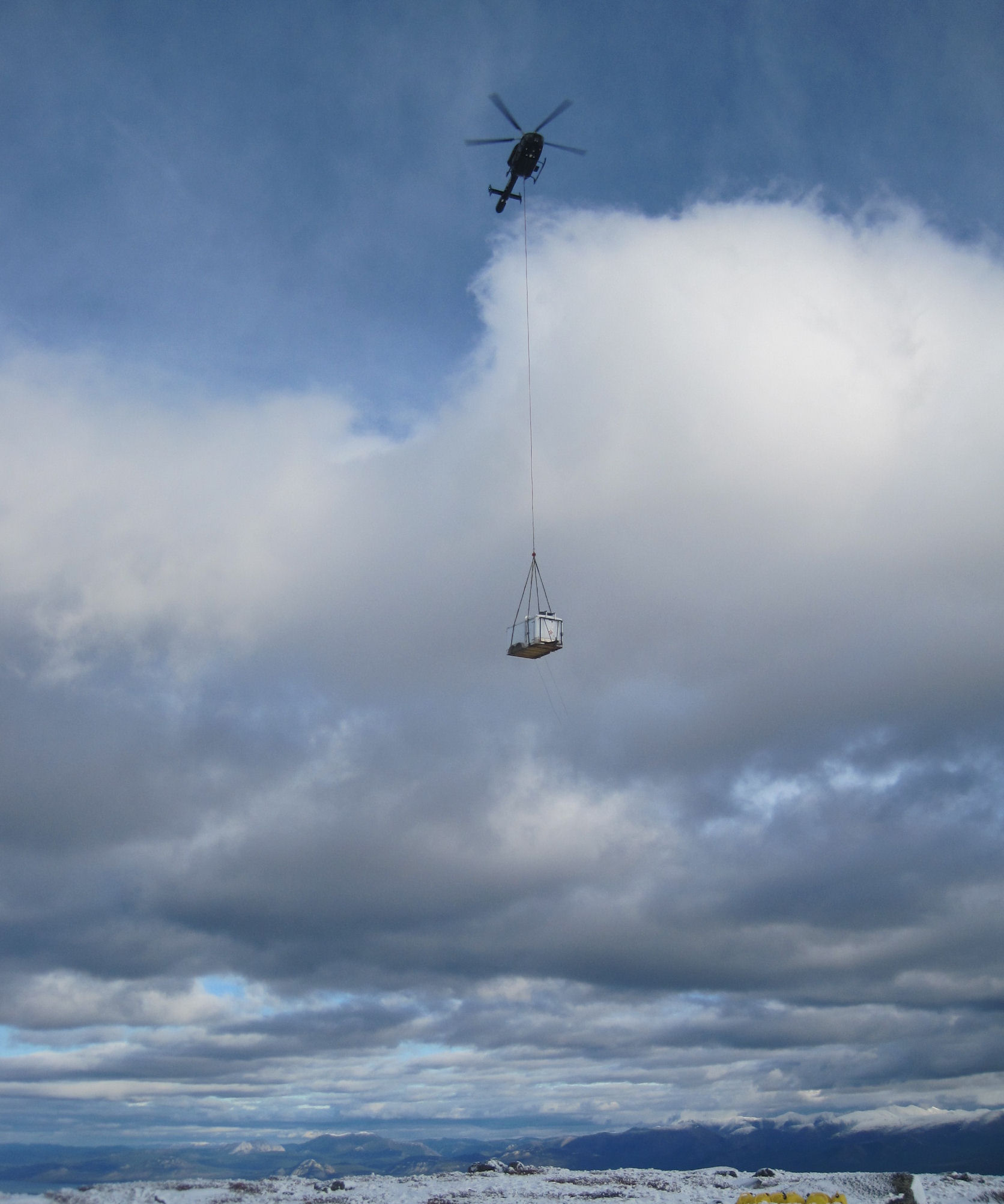
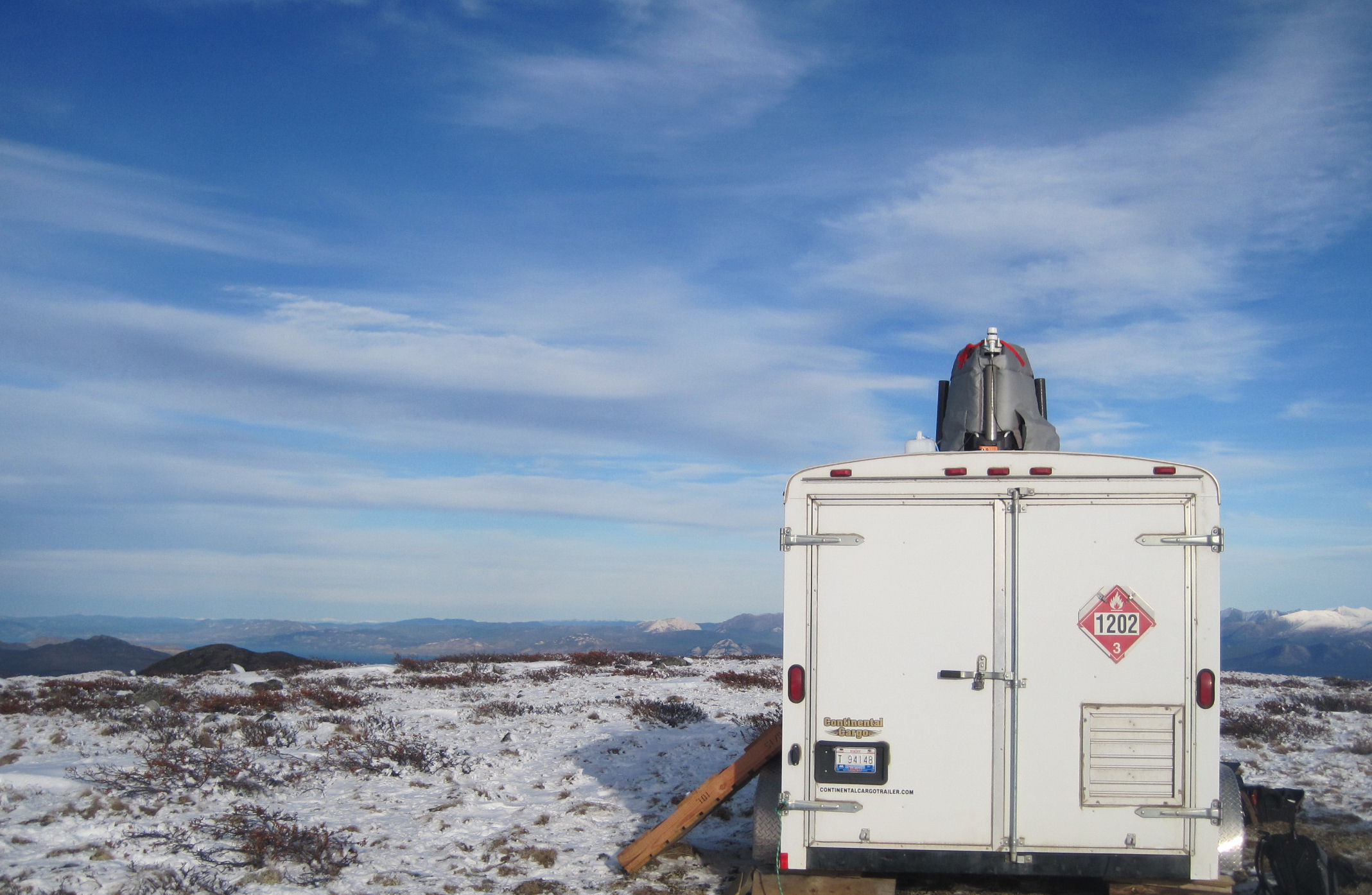
The photos below show the LiDAR system being delivered by helicopter, along with the trailer that houses the generators, batteries and a small heater.


Comments
Be the first to comment
Commenting is not available in this channel entry.